


Les bones hores refuge des Camporeils

fb30
User
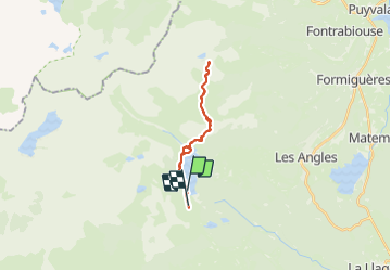

Length
21 km

Max alt
2251 m

Uphill gradient
443 m
Km-Effort
27 km

Min alt
1984 m

Downhill gradient
487 m
Boucle
No
Creation date :
2023-06-24 07:24:08.0
Updated on :
2023-06-24 15:44:03.924
6h30
Difficulty : Medium

FREE GPS app for hiking
 SityTrail
IGN / Geographical institutes
SityTrail Plus
The world is yours!
About
Trail Walking of 21 km to be discovered at Occitania, Pyrénées-Orientales, Angoustrine-Villeneuve-des-Escaldes. This trail is proposed by fb30.
Description
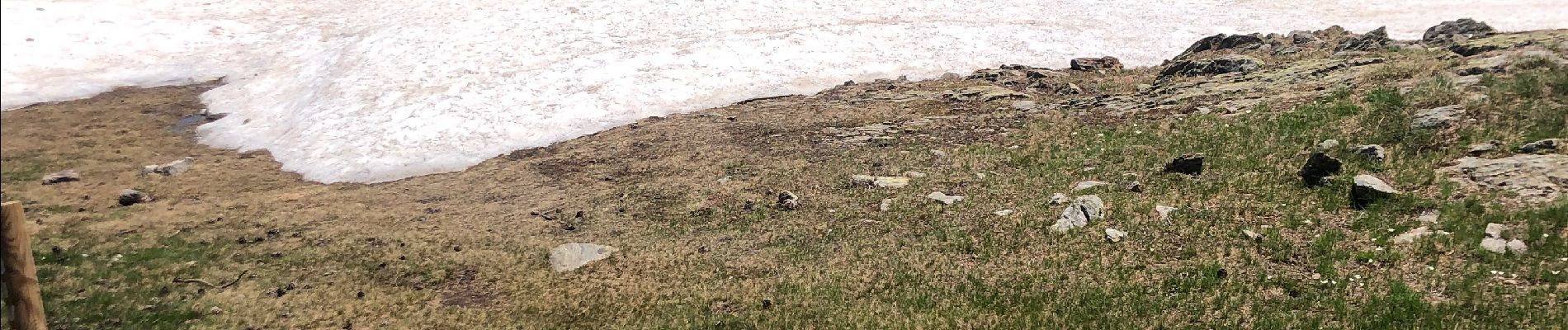
Magnifique balade le long du lac des Bouillouses jusqu’au refuge des Camporeils
Photos


Positioning
Country:
France
Region :
Occitania
Department/Province :
Pyrénées-Orientales
Municipality :
Angoustrine-Villeneuve-des-Escaldes
Location:
Unknown
Start:(Dec)
Start:(UTM)
417697 ; 4712598 (31T) N.
Comments