


Refuge des Camporells

robertperello
User
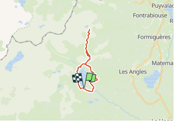

Length
22 km

Max alt
2251 m

Uphill gradient
632 m
Km-Effort
31 km

Min alt
1938 m

Downhill gradient
632 m
Boucle
Yes
Creation date :
2023-06-26 08:40:34.0
Updated on :
2023-06-27 09:32:14.952
6h52
Difficulty : Medium

FREE GPS app for hiking
 SityTrail
IGN / Geographical institutes
SityTrail Plus
The world is yours!
About
Trail Walking of 22 km to be discovered at Occitania, Pyrénées-Orientales, Les Angles. This trail is proposed by robertperello.
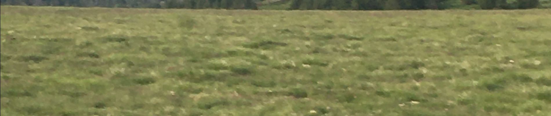
Photos


Positioning
Country:
France
Region :
Occitania
Department/Province :
Pyrénées-Orientales
Municipality :
Les Angles
Location:
Unknown
Start:(Dec)
Start:(UTM)
418233 ; 4712431 (31T) N.
Comments