


Pierre la Berard

raygautier
User
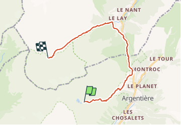

Length
13.1 km

Max alt
2308 m

Uphill gradient
620 m
Km-Effort
23 km

Min alt
1390 m

Downhill gradient
996 m
Boucle
No
Creation date :
2023-07-03 06:10:14.0
Updated on :
2023-07-03 15:08:52.753
8h57
Difficulty : Very difficult

FREE GPS app for hiking
 SityTrail
IGN / Geographical institutes
SityTrail Plus
The world is yours!
About
Trail Walking of 13.1 km to be discovered at Auvergne-Rhône-Alpes, Upper Savoy, Chamonix-Mont-Blanc. This trail is proposed by raygautier.
Positioning
Country:
France
Region :
Auvergne-Rhône-Alpes
Department/Province :
Upper Savoy
Municipality :
Chamonix-Mont-Blanc
Location:
Unknown
Start:(Dec)
Start:(UTM)
336834 ; 5094199 (32T) N.
Comments