


Pézillet à Saou

AIGUIER
User
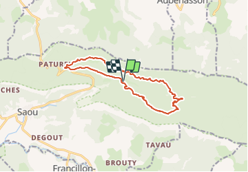

Length
14.1 km

Max alt
730 m

Uphill gradient
535 m
Km-Effort
21 km

Min alt
401 m

Downhill gradient
536 m
Boucle
Yes
Creation date :
2023-07-06 06:44:34.596
Updated on :
2023-07-17 16:24:45.474
4h58
Difficulty : Medium

FREE GPS app for hiking
 SityTrail
IGN / Geographical institutes
SityTrail Plus
The world is yours!
About
Trail Walking of 14.1 km to be discovered at Auvergne-Rhône-Alpes, Drôme, Saou. This trail is proposed by AIGUIER.
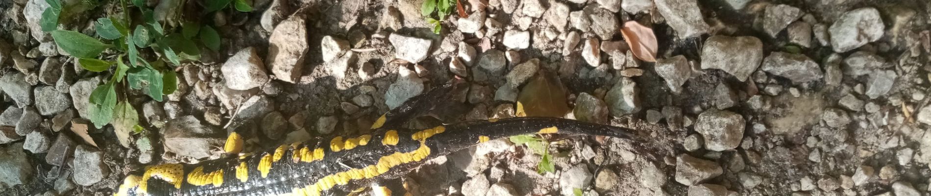
Photos


Positioning
Country:
France
Region :
Auvergne-Rhône-Alpes
Department/Province :
Drôme
Municipality :
Saou
Location:
Unknown
Start:(Dec)
Start:(UTM)
667333 ; 4946983 (31T) N.
Comments