


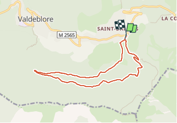
St Dalmas Valdeblore

Daniel Benteux
User

Length
8.7 km

Max alt
1471 m

Uphill gradient
269 m
Km-Effort
12.3 km

Min alt
1284 m

Downhill gradient
271 m
Boucle
Yes
Creation date :
2023-07-08 07:18:17.074
Updated on :
2023-07-08 12:14:51.622
2h26
Difficulty : Easy

FREE GPS app for hiking
 SityTrail
IGN / Geographical institutes
SityTrail Plus
The world is yours!
About
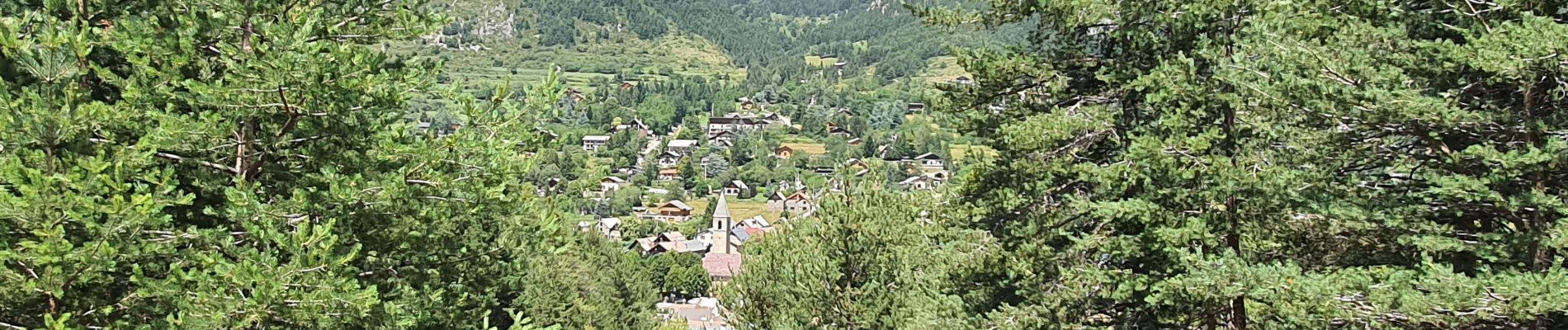
Trail Walking of 8.7 km to be discovered at Provence-Alpes-Côte d'Azur, Maritime Alps, Valdeblore. This trail is proposed by Daniel Benteux.
Description
marche
Photos


Positioning
Country:
France
Region :
Provence-Alpes-Côte d'Azur
Department/Province :
Maritime Alps
Municipality :
Valdeblore
Location:
Unknown
Start:(Dec)
Start:(UTM)
356101 ; 4880738 (32T) N.
Comments