


Moeder anterne

raygautier
User
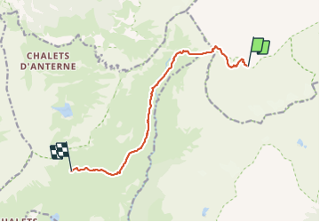

Length
10.1 km

Max alt
2528 m

Uphill gradient
780 m
Km-Effort
20 km

Min alt
1871 m

Downhill gradient
723 m
Boucle
No
Creation date :
2023-07-04 05:13:11.0
Updated on :
2023-07-08 13:37:23.644
10h43
Difficulty : Very difficult

FREE GPS app for hiking
 SityTrail
IGN / Geographical institutes
SityTrail Plus
The world is yours!
About
Trail Walking of 10.1 km to be discovered at Auvergne-Rhône-Alpes, Upper Savoy, Vallorcine. This trail is proposed by raygautier.
Positioning
Country:
France
Region :
Auvergne-Rhône-Alpes
Department/Province :
Upper Savoy
Municipality :
Vallorcine
Location:
Unknown
Start:(Dec)
Start:(UTM)
334977 ; 5096604 (32T) N.
Comments