


L’école du bravent

raygautier
User
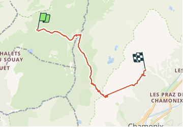

Length
12.1 km

Max alt
2364 m

Uphill gradient
922 m
Km-Effort
25 km

Min alt
1594 m

Downhill gradient
1013 m
Boucle
No
Creation date :
2023-07-05 05:02:30.0
Updated on :
2023-07-08 13:37:25.309
5h42
Difficulty : Very difficult

FREE GPS app for hiking
 SityTrail
IGN / Geographical institutes
SityTrail Plus
The world is yours!
About
Trail Walking of 12.1 km to be discovered at Auvergne-Rhône-Alpes, Upper Savoy, Passy. This trail is proposed by raygautier.
Positioning
Country:
France
Region :
Auvergne-Rhône-Alpes
Department/Province :
Upper Savoy
Municipality :
Passy
Location:
Unknown
Start:(Dec)
Start:(UTM)
329486 ; 5093376 (32T) N.
Comments