


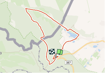

5.3 km | 7 km-effort


User


FREE GPS app for hiking
 SityTrail
IGN / Geographical institutes
SityTrail World
The world is yours!
Trail Walking of 8.2 km to be discovered at Lower Silesian Voivodeship, Kłodzko County, Radków. This trail is proposed by grappa.
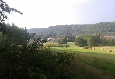
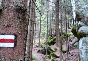
Een prachtige wandeling door het bos, langs rivieren en een deel langs een vakantiepark (even pauzeren om te drinken en/of te eten). Voor ieder wat wils!


On foot
On foot
Walking