


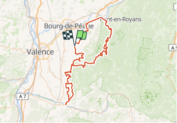

12.7 km | 25 km-effort


User


FREE GPS app for hiking
 SityTrail
IGN / Geographical institutes
SityTrail World
The world is yours!
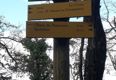
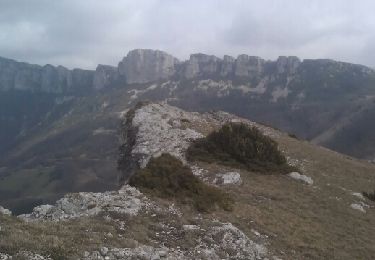
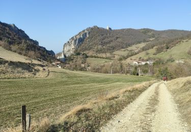
Trail Quad of 177 km to be discovered at Auvergne-Rhône-Alpes, Drôme, Charpey. This trail is proposed by ikusen26@gmail.com.

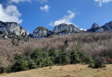
Walking
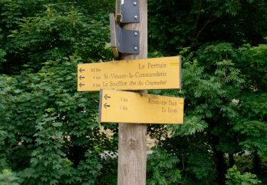
Walking

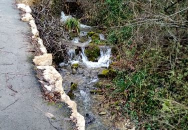
Walking
Walking
Walking
Walking

Walking
Walking
Walking