


Refuge du Crêt du poulet-col de Merdaret-Bois Vert

crocau
User
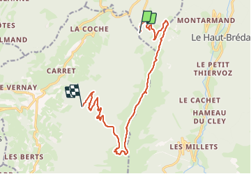

Length
16.8 km

Max alt
1915 m

Uphill gradient
544 m
Km-Effort
25 km

Min alt
1050 m

Downhill gradient
917 m
Boucle
No
Creation date :
2023-07-09 10:12:40.107
Updated on :
2023-07-09 16:25:44.287
4h36
Difficulty : Very difficult

FREE GPS app for hiking
 SityTrail
IGN / Geographical institutes
SityTrail Plus
The world is yours!
About
Trail Walking of 16.8 km to be discovered at Auvergne-Rhône-Alpes, Isère, Crêts-en-Belledonne. This trail is proposed by crocau.
Description
2 randos en une
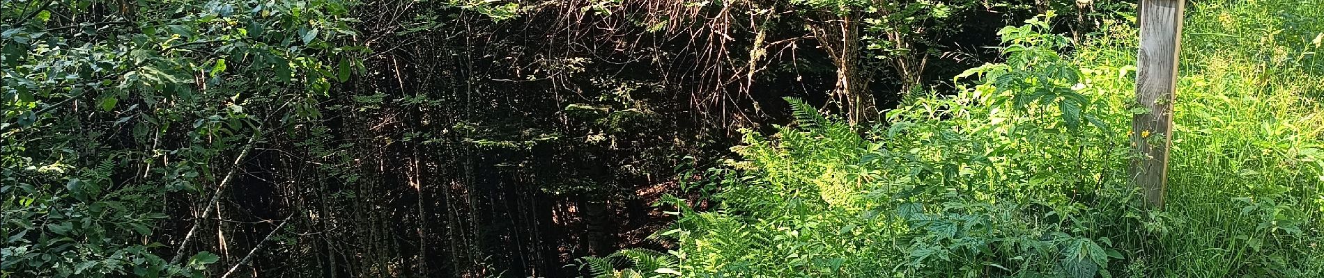
Photos


30 photos in total. Please click on a photo to see them all in the gallery.
Positioning
Country:
France
Region :
Auvergne-Rhône-Alpes
Department/Province :
Isère
Municipality :
Crêts-en-Belledonne
Location:
Saint-Pierre-d'Allevard
Start:(Dec)
Start:(UTM)
268544 ; 5023245 (32T) N.
Comments