


Las Bronaczowa

grappa
User
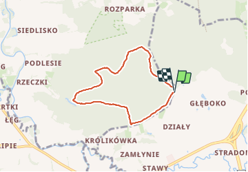

Length
5.5 km

Max alt
355 m

Uphill gradient
128 m
Km-Effort
7.2 km

Min alt
247 m

Downhill gradient
125 m
Boucle
Yes
Creation date :
2023-07-11 13:13:27.616
Updated on :
2023-07-11 14:36:09.486
1h22
Difficulty : Easy

FREE GPS app for hiking
 SityTrail
IGN / Geographical institutes
SityTrail Plus
The world is yours!
About
Trail Walking of 5.5 km to be discovered at Lesser Poland Voivodeship, Myślenice County, Głogoczów. This trail is proposed by grappa.
Description
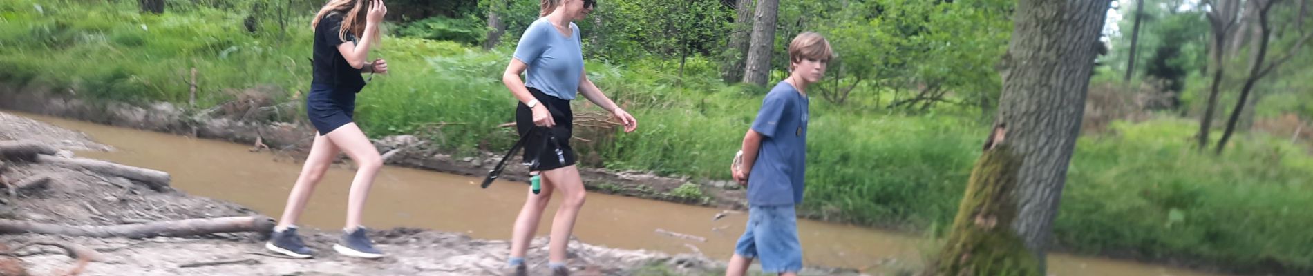
Boswandeling in het Nationaal Bos.
Photos


Positioning
Country:
Poland
Region :
Lesser Poland Voivodeship
Department/Province :
Myślenice County
Municipality :
Głogoczów
Location:
Unknown
Start:(Dec)
Start:(UTM)
417762 ; 5529863 (34U) N.
Comments