


Les Aiguillettes brévent

Pascal Dirckx
User
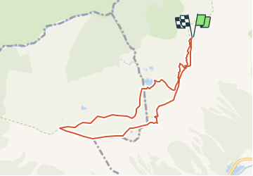

Length
8.4 km

Max alt
2502 m

Uphill gradient
660 m
Km-Effort
17.1 km

Min alt
2116 m

Downhill gradient
657 m
Boucle
Yes
Creation date :
2023-07-24 12:00:58.786
Updated on :
2023-07-24 12:02:01.914
3h53
Difficulty : Easy

FREE GPS app for hiking
 SityTrail
IGN / Geographical institutes
SityTrail Plus
The world is yours!
About
Trail On foot of 8.4 km to be discovered at Auvergne-Rhône-Alpes, Upper Savoy, Chamonix-Mont-Blanc. This trail is proposed by Pascal Dirckx.
Positioning
Country:
France
Region :
Auvergne-Rhône-Alpes
Department/Province :
Upper Savoy
Municipality :
Chamonix-Mont-Blanc
Location:
Unknown
Start:(Dec)
Start:(UTM)
332416 ; 5089296 (32T) N.
Comments