


cross_tintin_izzie

fredodlageo
User
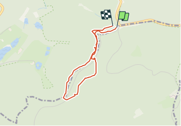

Length
2.9 km

Max alt
400 m

Uphill gradient
64 m
Km-Effort
3.8 km

Min alt
353 m

Downhill gradient
70 m
Boucle
Yes
Creation date :
2015-01-04 00:00:00.0
Updated on :
2015-01-04 00:00:00.0
24m
Difficulty : Medium

FREE GPS app for hiking
 SityTrail
IGN / Geographical institutes
SityTrail Plus
The world is yours!
About
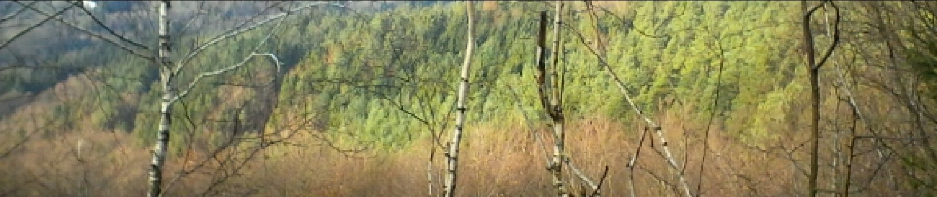
Trail Running of 2.9 km to be discovered at Grand Est, Bas-Rhin, Neuwiller-lès-Saverne. This trail is proposed by fredodlageo.
Description
20150104
Photos


Positioning
Country:
France
Region :
Grand Est
Department/Province :
Bas-Rhin
Municipality :
Neuwiller-lès-Saverne
Location:
Unknown
Start:(Dec)
Start:(UTM)
378348 ; 5412171 (32U) N.
Comments