


26 vallon combeau

randodyssée
User GUIDE
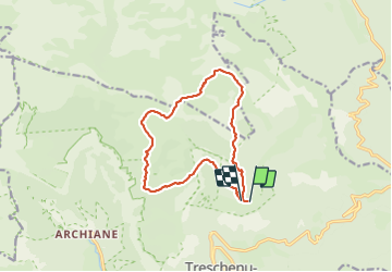

Length
13.3 km

Max alt
1953 m

Uphill gradient
768 m
Km-Effort
24 km

Min alt
1303 m

Downhill gradient
777 m
Boucle
Yes
Creation date :
2023-07-27 06:41:37.487
Updated on :
2023-07-27 15:11:15.274
6h48
Difficulty : Medium

FREE GPS app for hiking
 SityTrail
IGN / Geographical institutes
SityTrail Plus
The world is yours!
About
Trail Walking of 13.3 km to be discovered at Auvergne-Rhône-Alpes, Drôme, Châtillon-en-Diois. This trail is proposed by randodyssée.
Description
zel
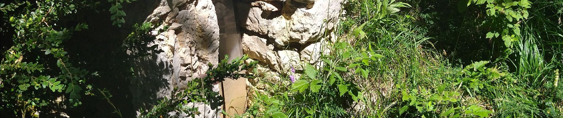
Photos


Positioning
Country:
France
Region :
Auvergne-Rhône-Alpes
Department/Province :
Drôme
Municipality :
Châtillon-en-Diois
Location:
Treschenu-Creyers
Start:(Dec)
Start:(UTM)
702345 ; 4958756 (31T) N.
Comments