


20230728 Le Bemont

pkermaidic
User
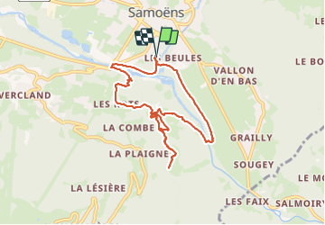

Length
8.4 km

Max alt
1018 m

Uphill gradient
354 m
Km-Effort
13.1 km

Min alt
695 m

Downhill gradient
355 m
Boucle
Yes
Creation date :
2023-07-28 06:36:10.689
Updated on :
2023-07-28 11:01:20.67
4h02
Difficulty : Medium

FREE GPS app for hiking
 SityTrail
IGN / Geographical institutes
SityTrail Plus
The world is yours!
About
Trail Walking of 8.4 km to be discovered at Auvergne-Rhône-Alpes, Upper Savoy, Samoëns. This trail is proposed by pkermaidic.
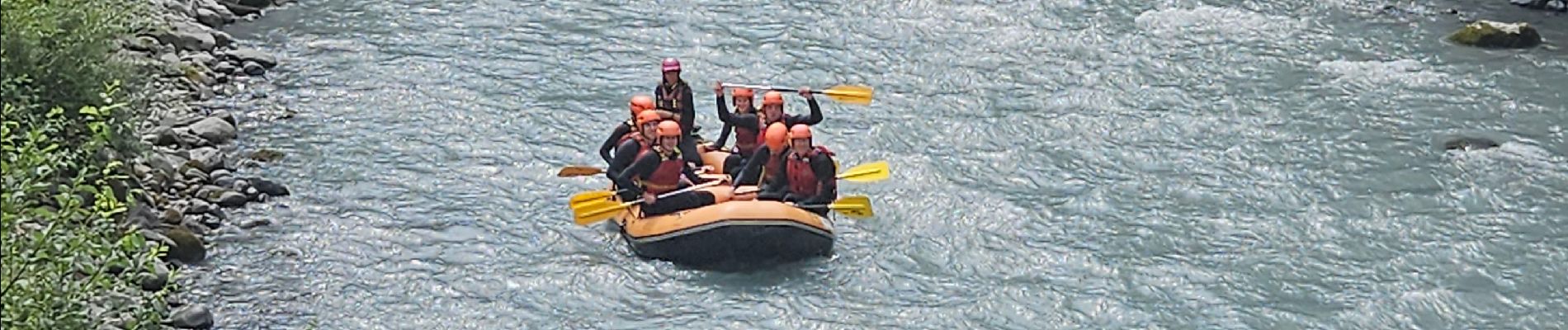
Photos


Positioning
Country:
France
Region :
Auvergne-Rhône-Alpes
Department/Province :
Upper Savoy
Municipality :
Samoëns
Location:
Unknown
Start:(Dec)
Start:(UTM)
324239 ; 5105164 (32T) N.
Comments