


Mongreleix Egliseneuve d’Entraigues

alinetpierre
User
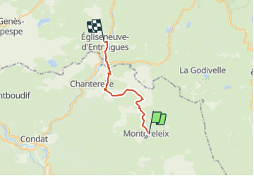

Length
12.7 km

Max alt
1245 m

Uphill gradient
235 m
Km-Effort
16.8 km

Min alt
911 m

Downhill gradient
515 m
Boucle
No
Creation date :
2023-07-31 08:05:56.0
Updated on :
2023-07-31 11:14:29.567
2h48
Difficulty : Easy

FREE GPS app for hiking
 SityTrail
IGN / Geographical institutes
SityTrail Plus
The world is yours!
About
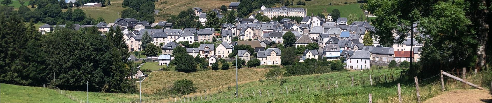
Trail Walking of 12.7 km to be discovered at Auvergne-Rhône-Alpes, Cantal, Montgreleix. This trail is proposed by alinetpierre.
Description
Tour des vaches rouges
Photos


Positioning
Country:
France
Region :
Auvergne-Rhône-Alpes
Department/Province :
Cantal
Municipality :
Montgreleix
Location:
Unknown
Start:(Dec)
Start:(UTM)
489847 ; 5021204 (31T) N.
Comments