Trail Cycle Ménerbes - Parcours n°5 - Ménerbes - Photo

Randonnées de Vélo Loisir Provence GUIDE+

© OpenStreetMap contributors
Length
Length
47 km
Max alt
Max alt
508 m
Uphill gradient
Uphill gradient
805 m
Km-Effort
Km-Effort  
58 km
Min alt
Min alt
122 m
Downhill gradient
Downhill gradient
803 m
Boucle
Boucle
Yes
Creation date :
2015-01-07 00:00:00.0
Updated on :
2015-01-07 00:00:00.0

(1 Reviews)

Cycle
Cycle
3h19
Difficulty : Difficult

Scan this QR Code to open this trail in the SityTrail application

FREE GPS app for hiking

Logo SityTrail SityTrail

IGN / Geographical institutes

Download SityTrail from the App Store Download SityTrail from Google Play

Logo SityTrail SityTrail World

The world is yours!

Download SityTrail from the App Store Download SityTrail from Google Play Download SityTrail on Huawei AppGallery

About

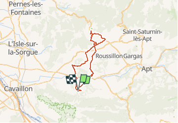
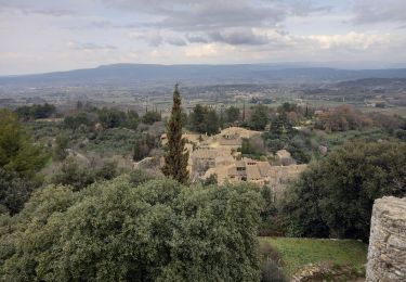
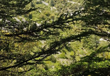
Trail Cycle of 47 km to be discovered at Provence-Alpes-Côte d'Azur, Vaucluse, Ménerbes. This trail is proposed by Vélo Loisir Provence.

Description

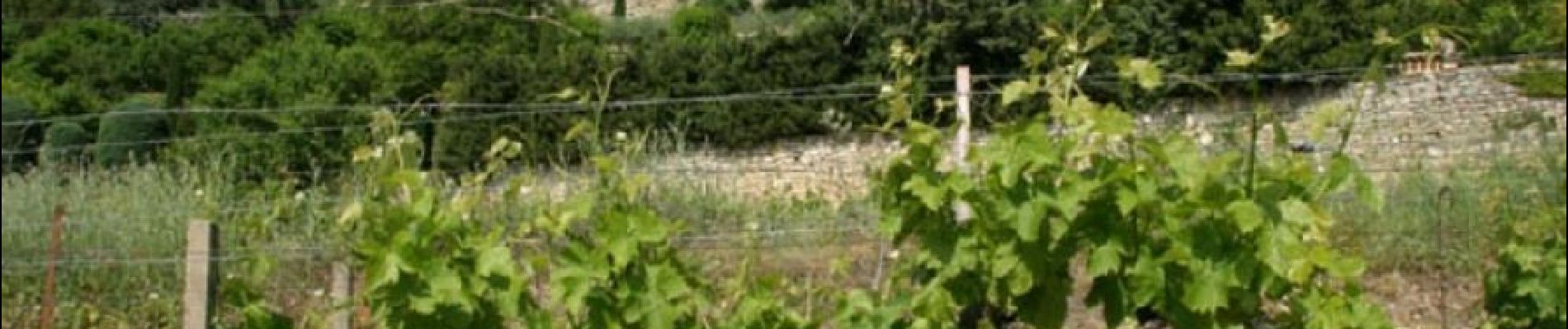
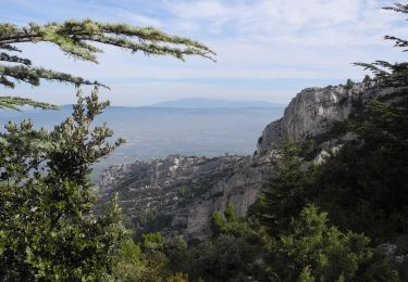
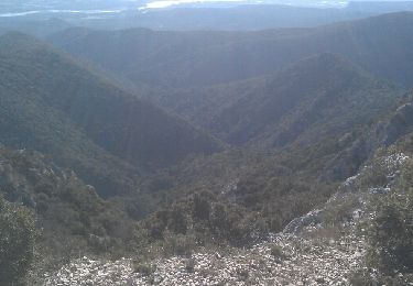
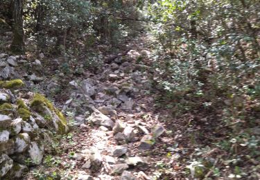
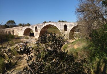
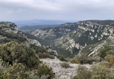
From one bank to the other of the Calavon River, the itinerary takes you through the perched villages between the Luberon and the Monts de Vaucluse. This circuit follows in the steps of an agrarian civilisation which knew the best ways to enhance and tame stone (bories, terraces, small walls). Direction of the itinerary : Ménerbes => Goult => Murs => Joucas => Saint-Pantaléon => Les Beaumettes => Ménerbes

Elevation profile

Photos

Positioning

Country:
France
Region :
Provence-Alpes-Côte d'Azur
Department/Province :
Vaucluse
Municipality :
Ménerbes
Location:
Unknown
Start:(UTM)
677395 ; 4855628 (31T) N.

Comments

Please log in to post a review or rate the element


Très beau parcours. Typique du Lubéron. Avec quelques beaux villages perchés. Nous y avons ajouté un détour vers Gordes. C'est un plus. 4/5


Trails nearby

Trail Walking Oppède - PF-Oppède - Le Vallon de Combrès - Le Sautadou du Bausset - Photo
Walking
MicDul

Walking

Difficult
(1)
Oppède, Provence-Alpes-Côte d'Azur, Vaucluse, France
13.6 km | 23 km-effort
4h 45min
Yes
Trail Walking Ménerbes - tt - Photo
Walking
woody85

Walking

Difficult
(2)
Ménerbes, Provence-Alpes-Côte d'Azur, Vaucluse, France
25 km | 37 km-effort
4h 37min
Yes
Trail Walking Ménerbes - Gde rando Ménerbes-Oppède-Les hautes Plaines-Abbayes de saint hillaire  - Photo
Walking
woody85

Walking

Difficult
(1)
Ménerbes, Provence-Alpes-Côte d'Azur, Vaucluse, France
23 km | 35 km-effort
2h 48min
Yes
Trail Mountain bike Beaumettes - vttpll_47_LES_BEAUMETTES_Du_Calavon_au_col_de_Gordes - Photo
Mountain bike
denel

Mountain bike

Easy
(1)
Beaumettes, Provence-Alpes-Côte d'Azur, Vaucluse, France
13.1 km | 16.6 km-effort
1h 8min
Yes
Trail Walking Ménerbes - 84 Vallon du bausset (menerbes) et arche - Photo
Walking
himba26100

Walking

Easy
Ménerbes, Provence-Alpes-Côte d'Azur, Vaucluse, France
8.5 km | 14.9 km-effort
4h 25min
Yes
Trail Road bike Ménerbes - 84 menerbes saignon Apt voie verte - Photo
Road bike
himba26100

Road bike

Medium
Ménerbes, Provence-Alpes-Côte d'Azur, Vaucluse, France
90 km | 109 km-effort
8h 55min
No
Trail Walking Oppède - Oppède le vieux / Vallon de combrès - Photo
Walking
GUIDE
nadinebondoux

Walking

Difficult
Oppède, Provence-Alpes-Côte d'Azur, Vaucluse, France
16.7 km | 27 km-effort
5h 46min
Yes
Trail Trail Oppède - Oppede Merindol  - Photo
Trail
Olivier69XC

Trail

Medium
Oppède, Provence-Alpes-Côte d'Azur, Vaucluse, France
14.7 km | 24 km-effort
2h 29min
No
Trail Walking Oppède - oppose la vieux - Photo
Walking
raymondowhite

Walking

Difficult
Oppède, Provence-Alpes-Côte d'Azur, Vaucluse, France
8.1 km | 15.6 km-effort
3h 4min
Yes


Close
My subscriptions