


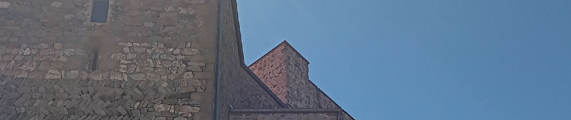
belesta bousillé par une fermeture du massif

stef789
User GUIDE
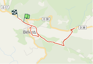

Length
4.7 km

Max alt
394 m

Uphill gradient
128 m
Km-Effort
6.3 km

Min alt
321 m

Downhill gradient
115 m
Boucle
Yes
Creation date :
2023-08-05 12:16:57.814
Updated on :
2023-08-05 13:40:23.514
1h23
Difficulty : Medium

FREE GPS app for hiking
 SityTrail
IGN / Geographical institutes
SityTrail Plus
The world is yours!
About
Trail Walking of 4.7 km to be discovered at Occitania, Pyrénées-Orientales, Bélesta. This trail is proposed by stef789.
Photos


Positioning
Country:
France
Region :
Occitania
Department/Province :
Pyrénées-Orientales
Municipality :
Bélesta
Location:
Unknown
Start:(Dec)
Start:(UTM)
467649 ; 4729667 (31T) N.
Comments