


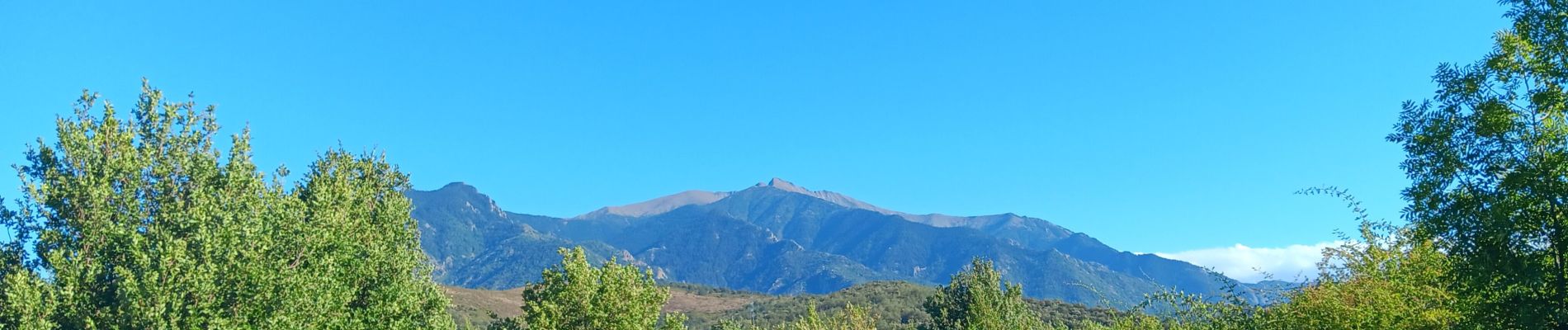
codalet . coll de Clara . abbaye St Michel de Cuxa . canal bohère

stef789
User GUIDE
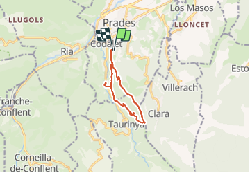

Length
9.8 km

Max alt
752 m

Uphill gradient
370 m
Km-Effort
14.7 km

Min alt
440 m

Downhill gradient
370 m
Boucle
Yes
Creation date :
2023-08-06 12:26:08.563
Updated on :
2023-08-06 16:48:06.148
4h21
Difficulty : Medium

FREE GPS app for hiking
 SityTrail
IGN / Geographical institutes
SityTrail Plus
The world is yours!
About
Trail Walking of 9.8 km to be discovered at Occitania, Pyrénées-Orientales, Prades. This trail is proposed by stef789.
Photos


32 photos in total. Please click on a photo to see them all in the gallery.
Positioning
Country:
France
Region :
Occitania
Department/Province :
Pyrénées-Orientales
Municipality :
Prades
Location:
Unknown
Start:(Dec)
Start:(UTM)
452476 ; 4717443 (31T) N.
Comments