


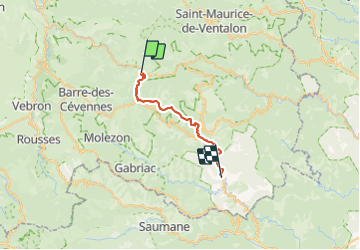
Etape 9 Cassagnas/St Étienne Vallée Française

Nathalie. Mercier
User


6h13
Difficulty : Difficult

FREE GPS app for hiking
 SityTrail
IGN / Geographical institutes
SityTrail Plus
The world is yours!
About
Trail Walking of 26 km to be discovered at Occitania, Lozère, Cassagnas. This trail is proposed by Nathalie. Mercier.
Description
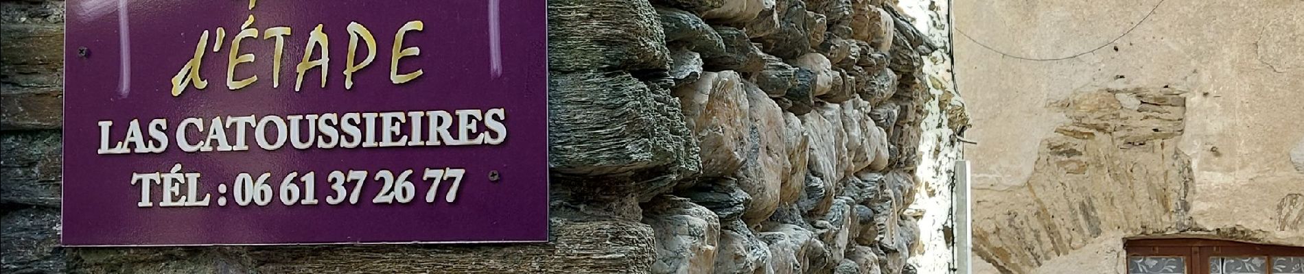
Départ tranquillou beau chemin en forêt , pause déjeuner à St Germain de Calberte tout sur place pour le ravitaillement. puis chemin ombragé les 4 derniers km sur la route sont un peu long puis 1.7 km sur sentier avec un petit dénivelé avant d arrivée au gîte
Photos


Positioning
Comments