


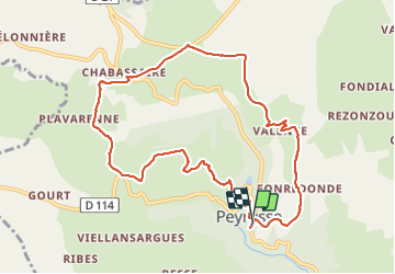
Le Puech Peyrusse

alinetpierre
User

Length
10.3 km

Max alt
1138 m

Uphill gradient
331 m
Km-Effort
14.7 km

Min alt
933 m

Downhill gradient
324 m
Boucle
Yes
Creation date :
2023-08-09 11:51:44.0
Updated on :
2023-08-09 14:42:19.79
2h37
Difficulty : Medium

FREE GPS app for hiking
 SityTrail
IGN / Geographical institutes
SityTrail Plus
The world is yours!
About
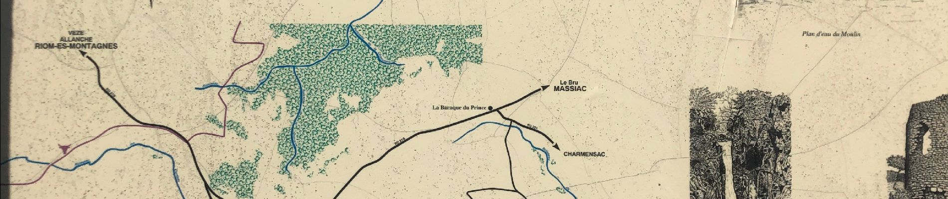
Trail Walking of 10.3 km to be discovered at Auvergne-Rhône-Alpes, Cantal, Peyrusse. This trail is proposed by alinetpierre.
Description
Très belle randonnée avec de belles vues sur le plateau et le Puy Mary
Photos


Positioning
Country:
France
Region :
Auvergne-Rhône-Alpes
Department/Province :
Cantal
Municipality :
Peyrusse
Location:
Unknown
Start:(Dec)
Start:(UTM)
502246 ; 5005356 (31T) N.
Comments