


Saint cyprien figeai

Glurps
User
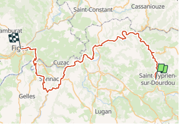

Length
72 km

Max alt
385 m

Uphill gradient
1151 m
Km-Effort
88 km

Min alt
162 m

Downhill gradient
1194 m
Boucle
No
Creation date :
2023-08-10 07:38:56.0
Updated on :
2023-08-10 14:25:11.188

FREE GPS app for hiking
 SityTrail
IGN / Geographical institutes
SityTrail Plus
The world is yours!
About
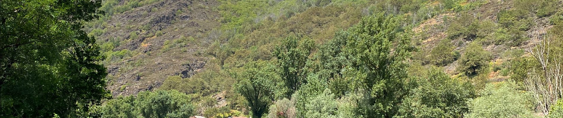
Trail of 72 km to be discovered at Occitania, Aveyron, Conques-en-Rouergue. This trail is proposed by Glurps.
Photos


Positioning
Country:
France
Region :
Occitania
Department/Province :
Aveyron
Municipality :
Conques-en-Rouergue
Location:
Saint-Cyprien-sur-Dourdou
Start:(Dec)
Start:(UTM)
452635 ; 4932712 (31T) N.
Comments