


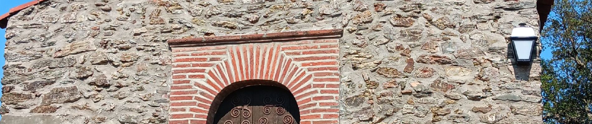
notre dame del roure . taillet . Notre dame del roure

stef789
User GUIDE
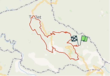

Length
10.7 km

Max alt
641 m

Uphill gradient
352 m
Km-Effort
15.3 km

Min alt
380 m

Downhill gradient
338 m
Boucle
Yes
Creation date :
2023-08-13 11:18:15.658
Updated on :
2023-08-13 15:04:24.798
3h45
Difficulty : Easy

FREE GPS app for hiking
 SityTrail
IGN / Geographical institutes
SityTrail Plus
The world is yours!
About
Trail Walking of 10.7 km to be discovered at Occitania, Pyrénées-Orientales, Taillet. This trail is proposed by stef789.
Photos


22 photos in total. Please click on a photo to see them all in the gallery.
Positioning
Country:
France
Region :
Occitania
Department/Province :
Pyrénées-Orientales
Municipality :
Taillet
Location:
Unknown
Start:(Dec)
Start:(UTM)
475177 ; 4706934 (31T) N.
Comments