Trail Walking Bovec - Etape 1 : hut to hut  - Photo

Etape 1 : hut to hut

 Ko-Rando
Ko-Rando

User

© OpenStreetMap contributors
Length
Length
9.7 km
Max alt
Max alt
2405 m
Uphill gradient
Uphill gradient
1096 m
Km-Effort
Km-Effort  
23 km
Min alt
Min alt
1612 m
Downhill gradient
Downhill gradient
668 m
Boucle
Boucle
No
Creation date :
2023-08-14 05:33:30.933
Updated on :
2023-12-27 13:55:02.093

(0 Reviews)

Walking
Walking
6h21
Difficulty : Very difficult

Scan this QR Code to open this trail in the SityTrail application

FREE GPS app for hiking

Logo SityTrail SityTrail

IGN / Geographical institutes

Download SityTrail from the App Store Download SityTrail from Google Play

Logo SityTrail SityTrail Plus

The world is yours!

Download SityTrail from the App Store Download SityTrail from Google Play Download SityTrail on Huawei AppGallery

About

Trail Walking of 9.7 km to be discovered at Unknown, Unknown, Bovec. This trail is proposed by Ko-Rando.

Description

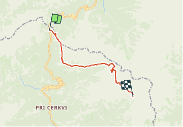
Étape 1: Col de Vršič (1611 m) – Point de vue des filles païennes – Na robu – Plaque de Zadnje – Sedlo Planja (2349) – Pogačnikov dom na Kriških podih (2050 m)
Distance: 9 km
Temps nécessaire: 6:30 heures
Dénivelé positif : 1269 m
Perte d’altitude : 855 m
Altitude minimale: 1607 m
Altitude maximale : 2424 m
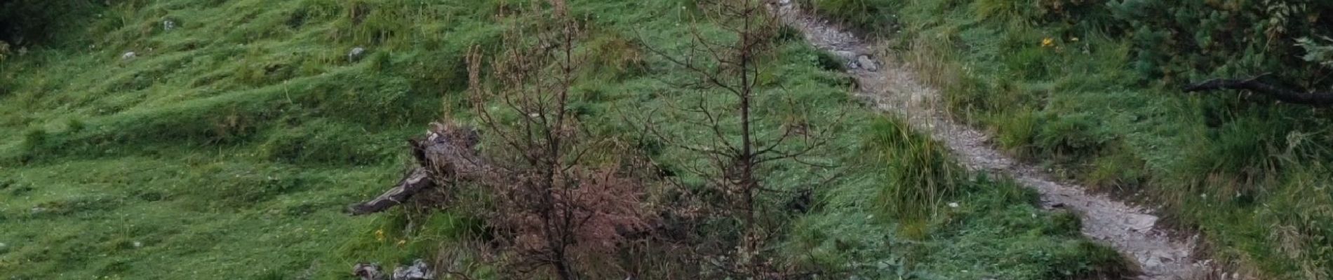
Elevation profile

Photos

22 photos in total. Please click on a photo to see them all in the gallery.

Positioning

Country:
Slovenia
Region :
Unknown
Department/Province :
Unknown
Municipality :
Bovec
Location:
Unknown
Start:(UTM)
403524 ; 5142903 (33T) N.


Close
My subscriptions