


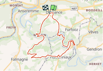
Dinant Course à pied

dodobernier
User

Length
18.9 km

Max alt
253 m

Uphill gradient
454 m
Km-Effort
25 km

Min alt
99 m

Downhill gradient
451 m
Boucle
Yes
Creation date :
2023-08-15 11:02:44.073
Updated on :
2023-08-15 11:21:13.592
5h40
Difficulty : Medium

FREE GPS app for hiking
 SityTrail
IGN / Geographical institutes
SityTrail Plus
The world is yours!
About
Trail Walking of 18.9 km to be discovered at Wallonia, Namur, Dinant. This trail is proposed by dodobernier.
Description
Très belle promenade à travers champs et forêts en passant par les villages et hameaux de Walzin, Falmignoul, Hulsonniaux, Gendron Gare et Furfooz.
Peut se réaliser à partir de chacun de ces endroits
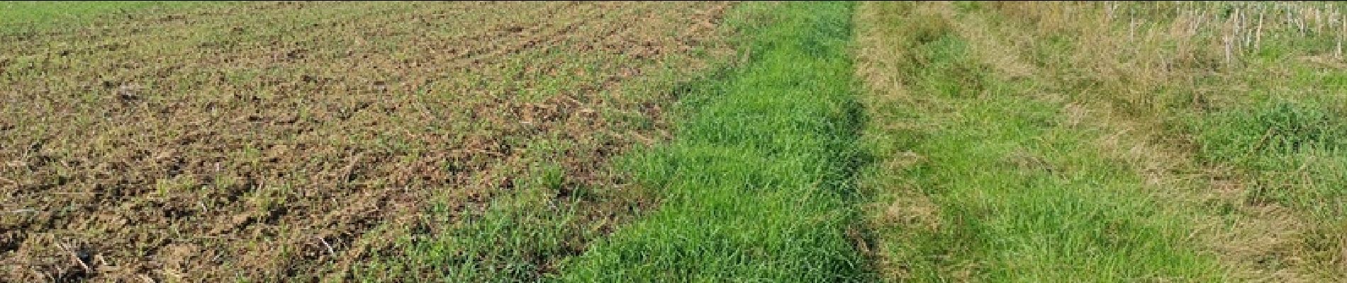
Photos


Positioning
Country:
Belgium
Region :
Wallonia
Department/Province :
Namur
Municipality :
Dinant
Location:
Unknown
Start:(Dec)
Start:(UTM)
637906 ; 5566580 (31U) N.
Comments