


Lalbenque cieurac pauliac

Glurps
User
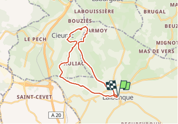

Length
14.5 km

Max alt
282 m

Uphill gradient
209 m
Km-Effort
17.3 km

Min alt
199 m

Downhill gradient
210 m
Boucle
Yes
Creation date :
2023-08-15 07:50:59.0
Updated on :
2023-08-15 11:48:18.553

FREE GPS app for hiking
 SityTrail
IGN / Geographical institutes
SityTrail Plus
The world is yours!
About
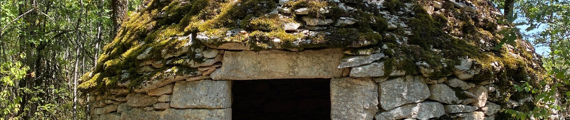
Trail of 14.5 km to be discovered at Occitania, Lot, Lalbenque. This trail is proposed by Glurps.
Photos


Positioning
Country:
France
Region :
Occitania
Department/Province :
Lot
Municipality :
Lalbenque
Location:
Unknown
Start:(Dec)
Start:(UTM)
384219 ; 4910399 (31T) N.
Comments