


les chalets de Vaucluse

guariso
User
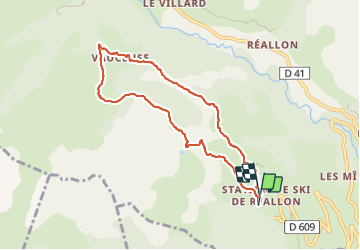

Length
8.1 km

Max alt
1799 m

Uphill gradient
314 m
Km-Effort
12.3 km

Min alt
1550 m

Downhill gradient
304 m
Boucle
Yes
Creation date :
2023-08-16 07:12:02.179
Updated on :
2023-08-16 10:34:01.979
3h12
Difficulty : Difficult

FREE GPS app for hiking
 SityTrail
IGN / Geographical institutes
SityTrail Plus
The world is yours!
About
Trail Walking of 8.1 km to be discovered at Provence-Alpes-Côte d'Azur, Hautes-Alpes, Réallon. This trail is proposed by guariso.
Description
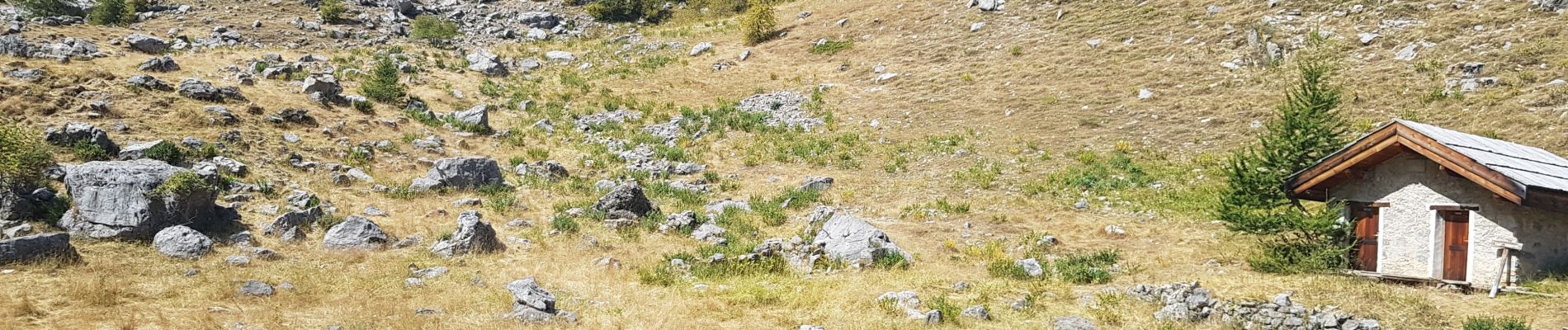
balade très sympa, jolies vues et panneaux pédagogiques. prévoir bonnes chaussures pour le petit tronçon de pierrier au retour.
Photos


Positioning
Country:
France
Region :
Provence-Alpes-Côte d'Azur
Department/Province :
Hautes-Alpes
Municipality :
Réallon
Location:
Unknown
Start:(Dec)
Start:(UTM)
290535 ; 4939248 (32T) N.
Comments