


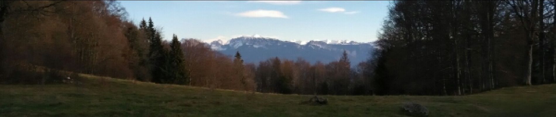
le liselet depuis les droniaires Cruseilles

COMAN
User
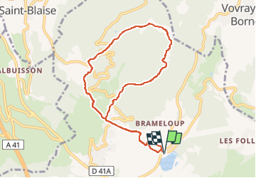

Length
9.8 km

Max alt
1132 m

Uphill gradient
364 m
Km-Effort
14.6 km

Min alt
783 m

Downhill gradient
363 m
Boucle
Yes
Creation date :
2015-01-15 00:00:00.0
Updated on :
2015-01-15 00:00:00.0
2h29
Difficulty : Easy

FREE GPS app for hiking
 SityTrail
IGN / Geographical institutes
SityTrail Plus
The world is yours!
About
Trail Walking of 9.8 km to be discovered at Auvergne-Rhône-Alpes, Upper Savoy, Cruseilles. This trail is proposed by COMAN.
Photos


Positioning
Country:
France
Region :
Auvergne-Rhône-Alpes
Department/Province :
Upper Savoy
Municipality :
Cruseilles
Location:
Unknown
Start:(Dec)
Start:(UTM)
277324 ; 5102590 (32T) N.
Comments