Trail Walking Bovec - Etape 2 : hut to hut  - Photo

Etape 2 : hut to hut

 Ko-Rando
Ko-Rando

User

© OpenStreetMap contributors
Length
Length
9.2 km
Max alt
Max alt
2368 m
Uphill gradient
Uphill gradient
1027 m
Km-Effort
Km-Effort  
23 km
Min alt
Min alt
1501 m
Downhill gradient
Downhill gradient
911 m
Boucle
Boucle
No
Creation date :
2023-08-15 05:12:03.957
Updated on :
2023-12-27 13:55:37.594

(0 Reviews)

Walking
Walking
5h17
Difficulty : Difficult

Scan this QR Code to open this trail in the SityTrail application

FREE GPS app for hiking

Logo SityTrail SityTrail

IGN / Geographical institutes

Download SityTrail from the App Store Download SityTrail from Google Play

Logo SityTrail SityTrail Plus

The world is yours!

Download SityTrail from the App Store Download SityTrail from Google Play Download SityTrail on Huawei AppGallery

About

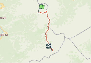
Trail Walking of 9.2 km to be discovered at Unknown, Unknown, Bovec. This trail is proposed by Ko-Rando.

Description

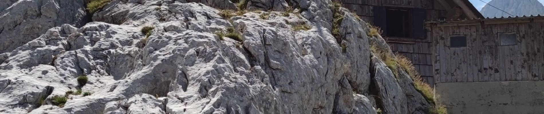
Étape 2: Pogačnikov dom na Kriških podih (2050 m) – Bovški Gamsovec (2391 m) – Luknja (1756 m) – Koča na Doliču (2151 m)
Distance: 9,4 km
Temps nécessaire: 6 heures
Dénivelé positif : 1374 m
Perte d’altitude : 1250 m
Altitude minimale: 1456 m
Altitude maximale : 2349 m

Elevation profile

Photos

Positioning

Country:
Slovenia
Region :
Unknown
Department/Province :
Unknown
Municipality :
Bovec
Location:
Unknown
Start:(UTM)
407804 ; 5139400 (33T) N.


Close
My subscriptions