Trail Walking Bovec - Etape 3 : hut to hut  - Photo

Etape 3 : hut to hut

 Ko-Rando
Ko-Rando

User

© OpenStreetMap contributors
Length
Length
10.4 km
Max alt
Max alt
2356 m
Uphill gradient
Uphill gradient
297 m
Km-Effort
Km-Effort  
16 km
Min alt
Min alt
1687 m
Downhill gradient
Downhill gradient
764 m
Boucle
Boucle
No
Creation date :
2023-08-16 04:40:22.386
Updated on :
2023-12-27 13:56:28.92

(0 Reviews)

Walking
Walking
4h42
Difficulty : Medium

Scan this QR Code to open this trail in the SityTrail application

FREE GPS app for hiking

Logo SityTrail SityTrail

IGN / Geographical institutes

Download SityTrail from the App Store Download SityTrail from Google Play

Logo SityTrail SityTrail Plus

The world is yours!

Download SityTrail from the App Store Download SityTrail from Google Play Download SityTrail on Huawei AppGallery

About

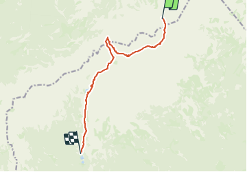
Trail Walking of 10.4 km to be discovered at Unknown, Unknown, Bovec. This trail is proposed by Ko-Rando.

Description

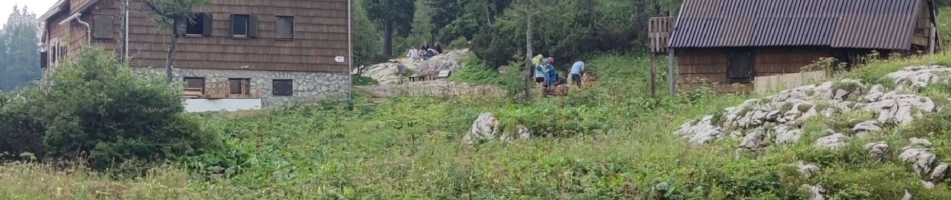
Étape 3: Koča na Doliču (2151 m) – Kanjavec (2568 m) – Zasavska koča na Prehodavcih (2071 m) – Koča pri Triglavskih jezerih (1685 m)
Distance: 9,1 km
Temps nécessaire: 5 heures
Dénivelé positif : 479 m
Perte d’altitude : 943 m
Altitude minimale: 1688 m
Altitude maximale : 2568 m

Elevation profile

Photos

Positioning

Country:
Slovenia
Region :
Unknown
Department/Province :
Unknown
Municipality :
Bovec
Location:
Unknown
Start:(UTM)
409198 ; 5135283 (33T) N.


Close
My subscriptions