Trail Walking Bohinj - Etape 4 : hut to hut  - Photo

Etape 4 : hut to hut

 Ko-Rando
Ko-Rando

User

© OpenStreetMap contributors
Length
Length
17.1 km
Max alt
Max alt
1858 m
Uphill gradient
Uphill gradient
321 m
Km-Effort
Km-Effort  
25 km
Min alt
Min alt
526 m
Downhill gradient
Downhill gradient
1478 m
Boucle
Boucle
No
Creation date :
2023-08-17 05:56:36.835
Updated on :
2023-12-27 13:56:53.427

(0 Reviews)

Walking
Walking
5h38
Difficulty : Medium

Scan this QR Code to open this trail in the SityTrail application

FREE GPS app for hiking

Logo SityTrail SityTrail

IGN / Geographical institutes

Download SityTrail from the App Store Download SityTrail from Google Play

Logo SityTrail SityTrail Plus

The world is yours!

Download SityTrail from the App Store Download SityTrail from Google Play Download SityTrail on Huawei AppGallery

About

Trail Walking of 17.1 km to be discovered at Unknown, Unknown, Bohinj. This trail is proposed by Ko-Rando.

Description

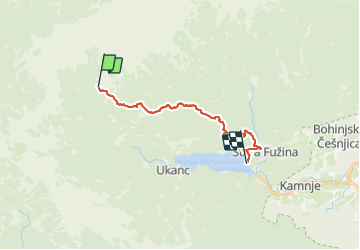
Étape 4: Koča pri Triglavskih jezerih (1685 m) – Štapce (1851 m) – Bregarjevo zavetišče na planini Viševnik (1620 m) – Koča na Planini pri Jezeru (1453 m) – Kosijev dom na Vogarj (1054 m) – Lac Bohinj (526 m)
Distance: 16 km
Temps nécessaire: 6 heures
Dénivelé positif : 497 m
Perte d’altitude : 1648 m
Altitude minimale: 527 m
Altitude maximale : 1854 m
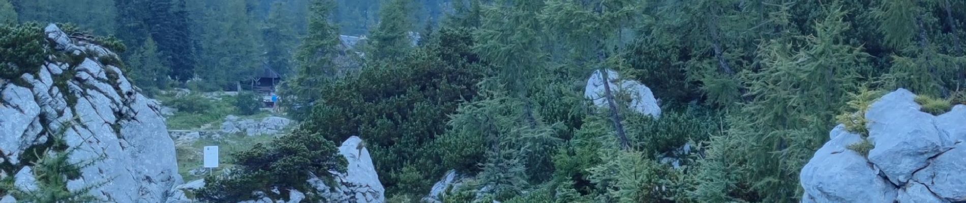
Elevation profile

Photos

22 photos in total. Please click on a photo to see them all in the gallery.

Positioning

Country:
Slovenia
Region :
Unknown
Department/Province :
Unknown
Municipality :
Bohinj
Location:
Unknown
Start:(UTM)
405987 ; 5130181 (33T) N.


Close
My subscriptions