


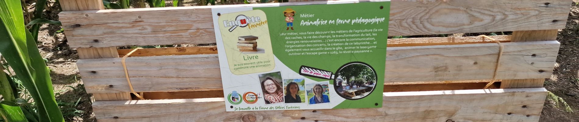
labyrinthe de mais 2023

bena42
User
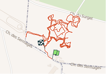

Length
4 km

Max alt
367 m

Uphill gradient
9 m
Km-Effort
4.1 km

Min alt
363 m

Downhill gradient
10 m
Boucle
Yes
Creation date :
2023-08-18 10:27:40.499
Updated on :
2023-08-18 12:06:13.763
1h38
Difficulty : Easy

FREE GPS app for hiking
 SityTrail
IGN / Geographical institutes
SityTrail Plus
The world is yours!
About
Trail Walking of 4 km to be discovered at Auvergne-Rhône-Alpes, Loire, Saint-Cyr-les-Vignes. This trail is proposed by bena42.
Photos


Positioning
Country:
France
Region :
Auvergne-Rhône-Alpes
Department/Province :
Loire
Municipality :
Saint-Cyr-les-Vignes
Location:
Unknown
Start:(Dec)
Start:(UTM)
599481 ; 5056697 (31T) N.
Comments