


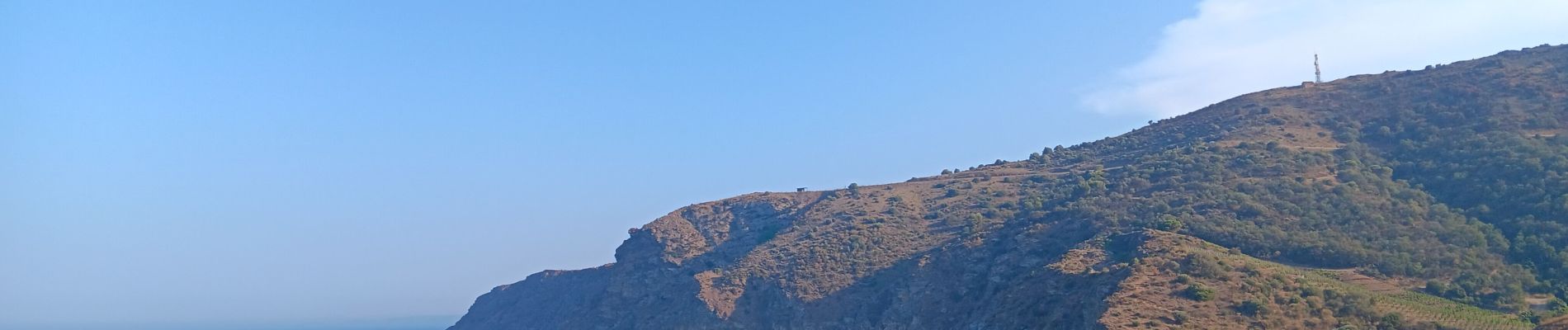
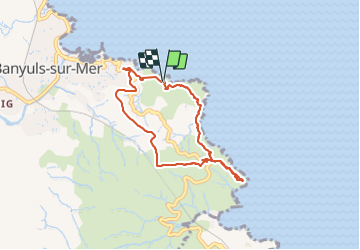
cap del troc . coll de gran bau . cap réderis . retour par le chemin du littoral

stef789
User GUIDE

Length
7.2 km

Max alt
195 m

Uphill gradient
305 m
Km-Effort
11.2 km

Min alt
8 m

Downhill gradient
300 m
Boucle
Yes
Creation date :
2023-08-19 14:19:57.767
Updated on :
2023-08-19 17:11:18.959
2h47
Difficulty : Medium

FREE GPS app for hiking
 SityTrail
IGN / Geographical institutes
SityTrail Plus
The world is yours!
About
Trail Walking of 7.2 km to be discovered at Occitania, Pyrénées-Orientales, Banyuls-sur-Mer. This trail is proposed by stef789.
Photos


Positioning
Country:
France
Region :
Occitania
Department/Province :
Pyrénées-Orientales
Municipality :
Banyuls-sur-Mer
Location:
Unknown
Start:(Dec)
Start:(UTM)
512132 ; 4702822 (31T) N.
Comments