


Galibier-La Clarée

nicolas54230
User

Length
21 km

Max alt
2494 m

Uphill gradient
1030 m
Km-Effort
35 km

Min alt
1968 m

Downhill gradient
1028 m
Boucle
Yes
Creation date :
2023-08-19 18:37:12.595
Updated on :
2023-08-19 18:38:08.966
7h56
Difficulty : Very difficult

FREE GPS app for hiking
 SityTrail
IGN / Geographical institutes
SityTrail Plus
The world is yours!
About
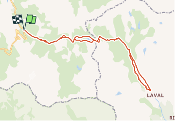
Trail Walking of 21 km to be discovered at Auvergne-Rhône-Alpes, Savoy, Valloire. This trail is proposed by nicolas54230.
Positioning
Country:
France
Region :
Auvergne-Rhône-Alpes
Department/Province :
Savoy
Municipality :
Valloire
Location:
Unknown
Start:(Dec)
Start:(UTM)
298204 ; 4996175 (32T) N.
Comments