


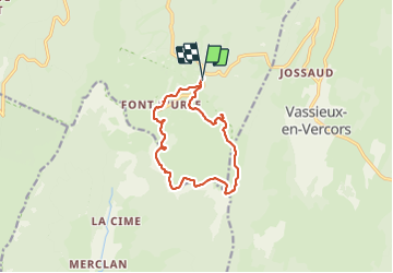
Font d’Urle les Trois cloches Glacières les Gagères

alinetpierre
User

Length
11.9 km

Max alt
1643 m

Uphill gradient
448 m
Km-Effort
17.9 km

Min alt
1430 m

Downhill gradient
449 m
Boucle
Yes
Creation date :
2023-08-20 05:54:06.0
Updated on :
2023-08-20 17:28:11.754
4h04
Difficulty : Difficult

FREE GPS app for hiking
 SityTrail
IGN / Geographical institutes
SityTrail Plus
The world is yours!
About
Trail Walking of 11.9 km to be discovered at Auvergne-Rhône-Alpes, Drôme, Bouvante. This trail is proposed by alinetpierre.
Description
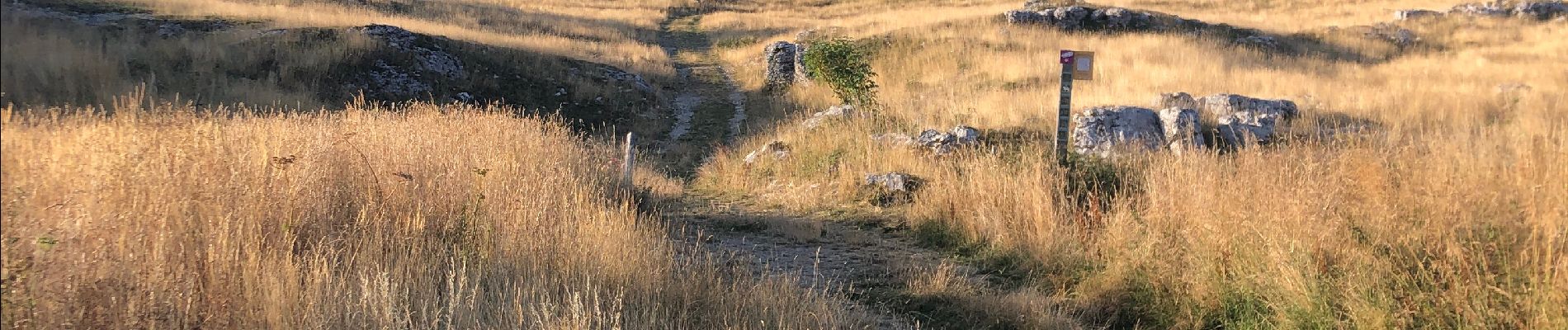
Superbe tour des Gagères
Photos


Positioning
Country:
France
Region :
Auvergne-Rhône-Alpes
Department/Province :
Drôme
Municipality :
Bouvante
Location:
Unknown
Start:(Dec)
Start:(UTM)
684323 ; 4974976 (31T) N.
Comments