


Chapeau de gendarme avec T S

janussity
User
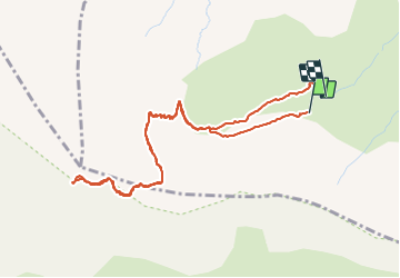

Length
5.5 km

Max alt
2659 m

Uphill gradient
508 m
Km-Effort
12.3 km

Min alt
2151 m

Downhill gradient
519 m
Boucle
Yes
Creation date :
2023-08-23 08:18:16.799
Updated on :
2023-08-23 10:58:35.174
2h00
Difficulty : Difficult

FREE GPS app for hiking
 SityTrail
IGN / Geographical institutes
SityTrail Plus
The world is yours!
About
Trail Walking of 5.5 km to be discovered at Provence-Alpes-Côte d'Azur, Alpes-de-Haute-Provence, Enchastrayes. This trail is proposed by janussity.
Description
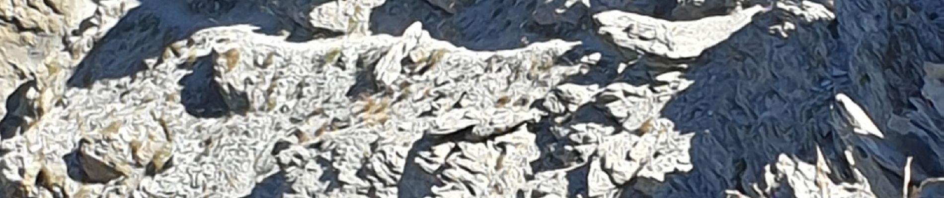
difficile chamois
Photos

Positioning
Country:
France
Region :
Provence-Alpes-Côte d'Azur
Department/Province :
Alpes-de-Haute-Provence
Municipality :
Enchastrayes
Location:
Unknown
Start:(Dec)
Start:(UTM)
315307 ; 4912372 (32T) N.
Comments