


les gorges de l'alagnon

alainjoseph6
User

Length
2.9 km

Max alt
1041 m

Uphill gradient
57 m
Km-Effort
3.7 km

Min alt
979 m

Downhill gradient
57 m
Boucle
Yes
Creation date :
2023-08-27 12:18:35.514
Updated on :
2023-08-27 14:09:42.078
1h50
Difficulty : Easy

FREE GPS app for hiking
 SityTrail
IGN / Geographical institutes
SityTrail Plus
The world is yours!
About
Trail Walking of 2.9 km to be discovered at Auvergne-Rhône-Alpes, Cantal, Laveissière. This trail is proposed by alainjoseph6.
Description
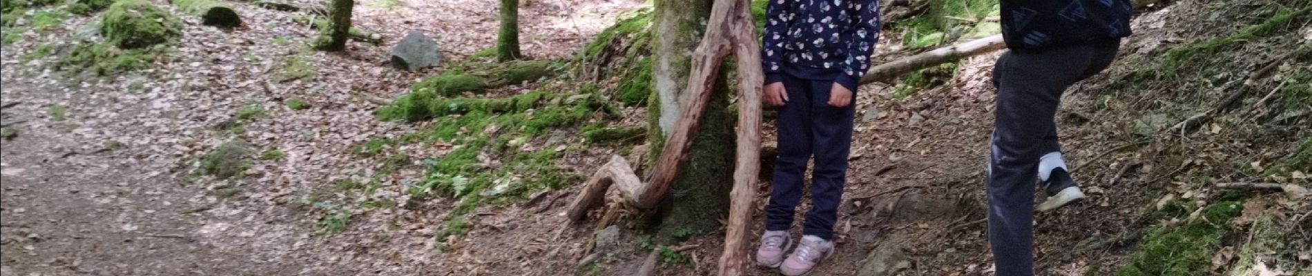
une balade en aller retour dans les gorges de l'alagnon.
A faire avec les enfants qui pourront découvrir les animaux et les personnages tout le long du parcours.
Photos


Positioning
Country:
France
Region :
Auvergne-Rhône-Alpes
Department/Province :
Cantal
Municipality :
Laveissière
Location:
Unknown
Start:(Dec)
Start:(UTM)
482735 ; 4994732 (31T) N.
Comments