


27 km | 32 km-effort

User


FREE GPS app for hiking
 SityTrail
IGN / Geographical institutes
SityTrail World
The world is yours!
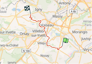
Trail Walking of 15.5 km to be discovered at Ile-de-France, Essonne, Ballainvilliers. This trail is proposed by clalaur.
Randonnée faite le vendredi 26 avril 2024.
Départ : Arrêt Mairie (Bus M141 & M153 Transdev) Ballainvilliers ; Arrivée : Arrêt Mairie (Bus 119) Vauhallan


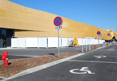
Walking
Walking

On foot

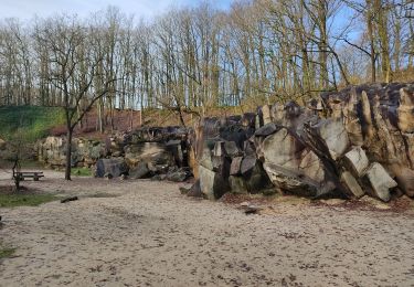
Walking
Walking
Walking
Walking
Walking