


Arvieux Randonnée

choumac08
User
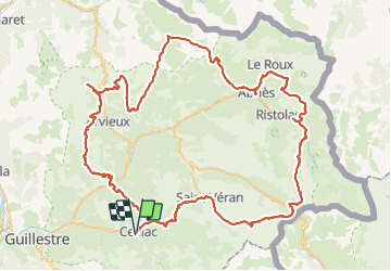

Length
138 km

Max alt
2888 m

Uphill gradient
8448 m
Km-Effort
250 km

Min alt
1186 m

Downhill gradient
8448 m
Boucle
Yes
Creation date :
2023-09-01 14:21:33.961
Updated on :
2023-09-01 15:17:57.581
56h55
Difficulty : Very difficult

FREE GPS app for hiking
 SityTrail
IGN / Geographical institutes
SityTrail Plus
The world is yours!
About
Trail Walking of 138 km to be discovered at Provence-Alpes-Côte d'Azur, Hautes-Alpes, Ceillac. This trail is proposed by choumac08.
Description
En 7 jours avec la tente
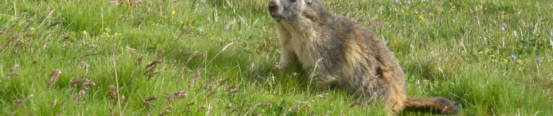
Photos


Positioning
Country:
France
Region :
Provence-Alpes-Côte d'Azur
Department/Province :
Hautes-Alpes
Municipality :
Ceillac
Location:
Unknown
Start:(Dec)
Start:(UTM)
323704 ; 4948178 (32T) N.
Comments