Trail Walking Caille - Caille à Caille  par le tour de la plaine de Caille - Photo

Caille à Caille par le tour de la plaine de Caille

 jwo47
jwo47

User

© OpenStreetMap contributors
Length
Length
10.5 km
Max alt
Max alt
1255 m
Uphill gradient
Uphill gradient
257 m
Km-Effort
Km-Effort  
13.9 km
Min alt
Min alt
1121 m
Downhill gradient
Downhill gradient
257 m
Boucle
Boucle
Yes
Creation date :
2023-09-04 08:29:58.0
Updated on :
2023-09-04 13:12:37.744

(0 Reviews)

Walking
Walking
4h40
Difficulty : Easy

Scan this QR Code to open this trail in the SityTrail application

FREE GPS app for hiking

Logo SityTrail SityTrail

IGN / Geographical institutes

Download SityTrail from the App Store Download SityTrail from Google Play

Logo SityTrail SityTrail World

The world is yours!

Download SityTrail from the App Store Download SityTrail from Google Play Download SityTrail on Huawei AppGallery

About

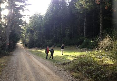
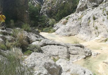
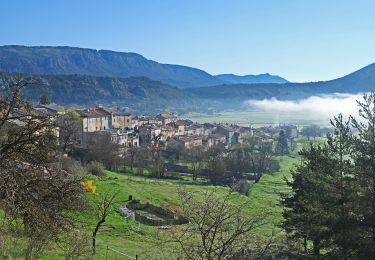
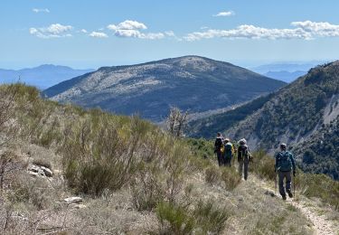
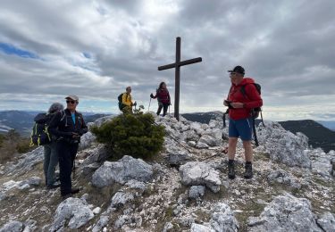
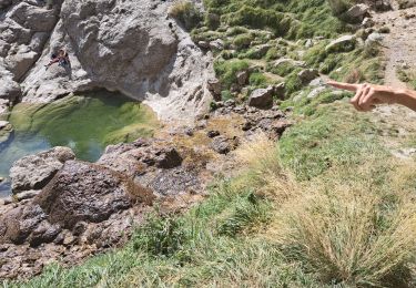
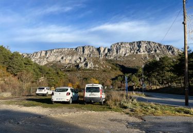
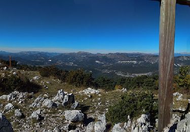
Trail Walking of 10.5 km to be discovered at Provence-Alpes-Côte d'Azur, Maritime Alps, Caille. This trail is proposed by jwo47.

Description

À part une petite montée parfois un peu raide tout le reste était ”peinard”

Elevation profile

Positioning

Country:
France
Region :
Provence-Alpes-Côte d'Azur
Department/Province :
Maritime Alps
Municipality :
Caille
Location:
Unknown
Start:(UTM)
317398 ; 4849826 (32T) N.

Trails nearby

Trail Walking Mons - tour du Mt Lachens - Photo
Walking
pascalspr

Walking

Medium
(3)
Mons, Provence-Alpes-Côte d'Azur, Var, France
20 km | 32 km-effort
6h 53min
Yes
Trail Walking Escragnolles - Casade du Ray (Clars) depuis les Gallants - Photo
Walking
Reich

Walking

Very easy
(1)
Escragnolles, Provence-Alpes-Côte d'Azur, Maritime Alps, France
938 m | 1.3 km-effort
20min
No
Trail On foot Caille - Grand tour du haut Estéron - Etape 5 - Photo
On foot
PRO

On foot

Difficult
Caille, Provence-Alpes-Côte d'Azur, Maritime Alps, France
19.3 km | 32 km-effort
7h 13min
No
Trail On foot Séranon - Crêtes du Bauroux - Photo
On foot
PRO

On foot

Easy
Séranon, Provence-Alpes-Côte d'Azur, Maritime Alps, France
11.8 km | 19.3 km-effort
4h 23min
Yes
Trail Walking Séranon - Seranon <-> Caille - Photo
Walking
ETMU5496

Walking

Difficult
Séranon, Provence-Alpes-Côte d'Azur, Maritime Alps, France
23 km | 37 km-effort
8h 21min
Yes
Trail Walking Séranon - Seranon Sommet du Bauroux Caille La Mouliere La clue trace réelle - Photo
Walking
jouans

Walking

Very difficult
Séranon, Provence-Alpes-Côte d'Azur, Maritime Alps, France
23 km | 37 km-effort
8h 22min
Yes
Trail Walking Escragnolles - Cascade de Clars Les Galans Escragnolle - Photo
Walking
56jj

Walking

Medium
(1)
Escragnolles, Provence-Alpes-Côte d'Azur, Maritime Alps, France
8.9 km | 13.3 km-effort
4h 20min
Yes
Trail Walking Séranon - L' Audibergue  - Photo
Walking
ETMU5496

Walking

Medium
Séranon, Provence-Alpes-Côte d'Azur, Maritime Alps, France
21 km | 32 km-effort
5h 12min
Yes
Trail Walking Valderoure - Sommet du Beauroux : panoramique et champignons - Photo
Walking
Palimpseste

Walking

Difficult
Valderoure, Provence-Alpes-Côte d'Azur, Maritime Alps, France
13.2 km | 21 km-effort
3h 12min
Yes


Close
My subscriptions