


kettevennen genk

stef789
User GUIDE


Length
6.2 km

Max alt
100 m

Uphill gradient
53 m
Km-Effort
6.9 km

Min alt
78 m

Downhill gradient
51 m
Boucle
Yes
Creation date :
2023-09-04 14:59:18.916
Updated on :
2023-09-04 16:42:51.427
1h40
Difficulty : Medium

FREE GPS app for hiking
 SityTrail
IGN / Geographical institutes
SityTrail Plus
The world is yours!
About
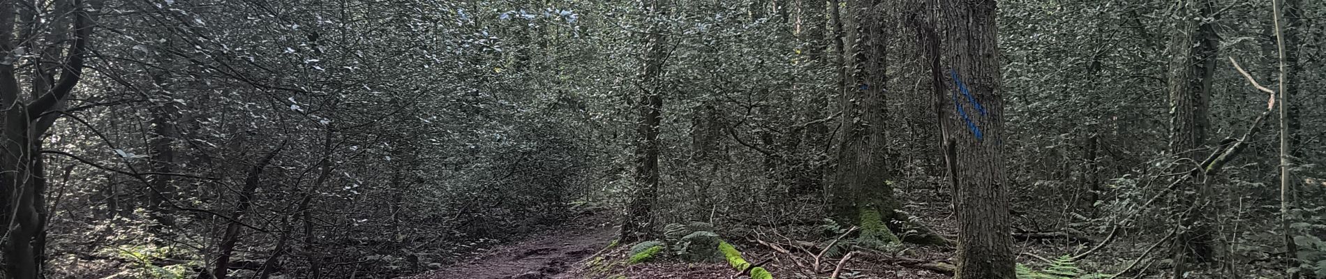
Trail Walking of 6.2 km to be discovered at Flanders, Limburg, Genk. This trail is proposed by stef789.
Photos


Positioning
Country:
Belgium
Region :
Flanders
Department/Province :
Limburg
Municipality :
Genk
Location:
Unknown
Start:(Dec)
Start:(UTM)
677913 ; 5648092 (31U) N.
Comments