


labastide pont d'arc

elorthiois
User


Length
8.7 km

Max alt
279 m

Uphill gradient
430 m
Km-Effort
14.4 km

Min alt
76 m

Downhill gradient
420 m
Boucle
Yes
Creation date :
2023-09-05 06:23:11.422
Updated on :
2023-09-06 07:03:22.341
3h52
Difficulty : Medium

FREE GPS app for hiking
 SityTrail
IGN / Geographical institutes
SityTrail Plus
The world is yours!
About
Trail Walking of 8.7 km to be discovered at Auvergne-Rhône-Alpes, Ardèche, Labastide-de-Virac. This trail is proposed by elorthiois.
Description
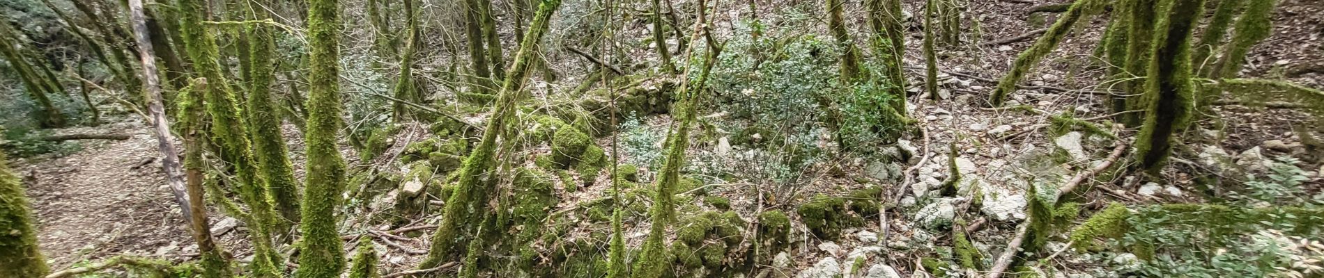
Baignade sous le pont. 1/4 heure de descente puis idem remontée, mais le but vaut le coup !
Photos

Positioning
Country:
France
Region :
Auvergne-Rhône-Alpes
Department/Province :
Ardèche
Municipality :
Labastide-de-Virac
Location:
Unknown
Start:(Dec)
Start:(UTM)
611636 ; 4912008 (31T) N.
Comments