


J4-Bernolfo - Lago Lausfer

MAD-CVW
User


27h25
Difficulty : Very difficult

FREE GPS app for hiking
 SityTrail
IGN / Geographical institutes
SityTrail Plus
The world is yours!
About
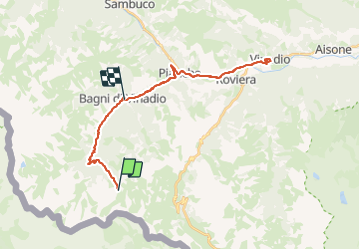
Trail Walking of 32 km to be discovered at Piemont, Cuneo, Vinadio. This trail is proposed by MAD-CVW.
Description
Départ au parking a l'entrée de Bernolfo en montant la piste P23 à gauche du refuge Dahu le long du torrent Corborant. Au bout du Vallon San Bernolfo, un sentier de pierre grimpe dans les alpages de vaches bordés de genévriers et évitant les longs lacets de la piste. Vue sur cascades de Barbacane.
A l'intersection cote 2291, tourner à droite pour suivre le sentier P23b en contournant les rochers et en traversant les nombreux filets d'eau . Marmottes. Arrivé au vaste Lago Lausfer Inferiore à 2505m, trempette et beaux endroits pour une pause paisible. Possibilité de poursuivre le sentier pour rejoindre le Lago Lausfer Superiore à 2558m, puis passer en France (Mercantour) par le col de Corborant à 2939m.
Positioning
Comments