Evettes 73

janussity
User
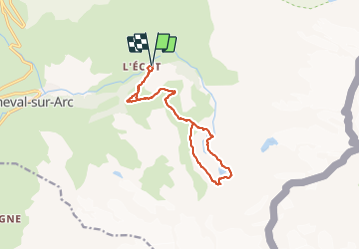

Length
13.7 km

Max alt
2577 m

Uphill gradient
698 m
Km-Effort
23 km

Min alt
2021 m

Downhill gradient
690 m
Boucle
Yes
Creation date :
2023-09-07 07:34:27.352
Updated on :
2023-09-07 13:51:16.008
4h19
Difficulty : Difficult

FREE GPS app for hiking
 SityTrail
IGN / Geographical institutes
SityTrail Plus
The world is yours!
About
Trail Walking of 13.7 km to be discovered at Auvergne-Rhône-Alpes, Savoy, Bonneval-sur-Arc. This trail is proposed by janussity.
Description
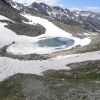
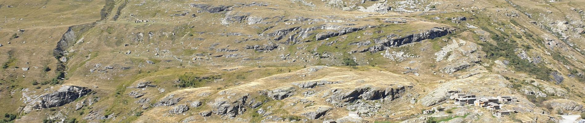
Depart de l'Ecot, refuge des Evettes, cascade Reculaz. lac des Evettes.
Photos


Positioning
Country:
France
Region :
Auvergne-Rhône-Alpes
Department/Province :
Savoy
Municipality :
Bonneval-sur-Arc
Location:
Unknown
Start:(Dec)
Start:(UTM)
350605 ; 5026968 (32T) N.
Comments