


Lautenbacher Hexenweg

Claudele
User
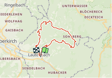

Length
15.2 km

Max alt
701 m

Uphill gradient
634 m
Km-Effort
24 km

Min alt
213 m

Downhill gradient
634 m
Boucle
Yes
Creation date :
2023-09-10 07:51:29.617
Updated on :
2023-09-10 15:55:36.786
6h39
Difficulty : Difficult

FREE GPS app for hiking
 SityTrail
IGN / Geographical institutes
SityTrail Plus
The world is yours!
About
Trail Walking of 15.2 km to be discovered at Baden-Württemberg, Ortenaukreis, Lautenbach. This trail is proposed by Claudele.
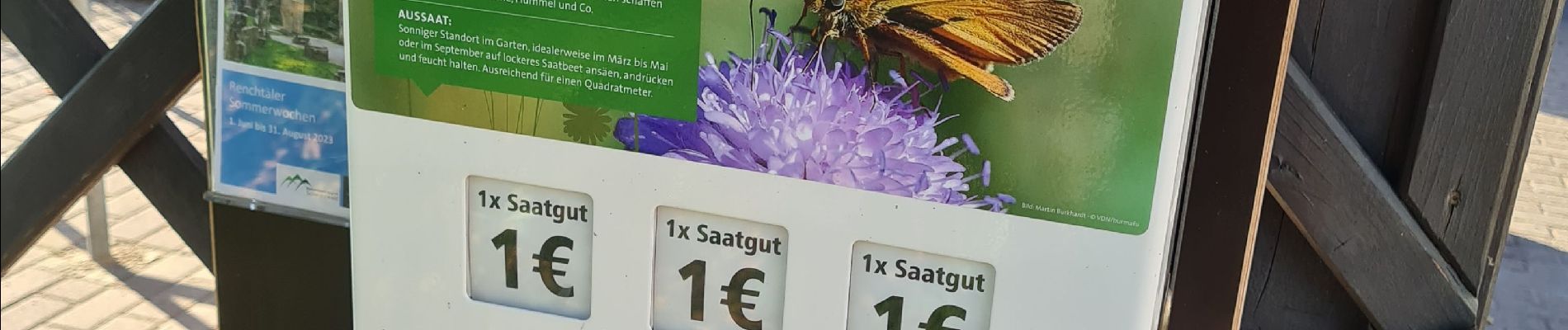
Photos


102 photos in total. Please click on a photo to see them all in the gallery.
Positioning
Country:
Germany
Region :
Baden-Württemberg
Department/Province :
Ortenaukreis
Municipality :
Lautenbach
Location:
Unknown
Start:(Dec)
Start:(UTM)
434787 ; 5374365 (32U) N.
Comments