


La Loubière - Lanuéjols

nolsim
User
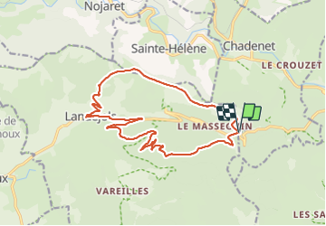

Length
17.7 km

Max alt
1206 m

Uphill gradient
478 m
Km-Effort
24 km

Min alt
834 m

Downhill gradient
481 m
Boucle
Yes
Creation date :
2023-09-05 07:10:47.193
Updated on :
2023-09-12 16:28:06.445
4h26
Difficulty : Medium

FREE GPS app for hiking
 SityTrail
IGN / Geographical institutes
SityTrail Plus
The world is yours!
About
Trail Walking of 17.7 km to be discovered at Occitania, Lozère, Chadenet. This trail is proposed by nolsim.
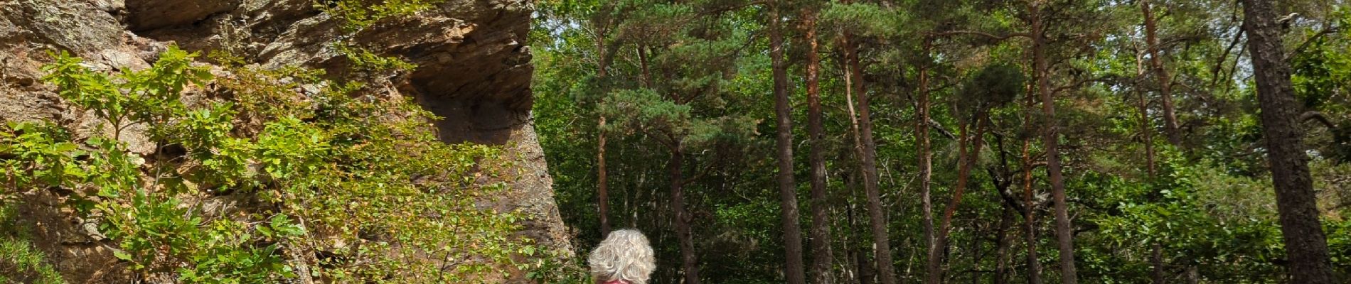
Photos


Positioning
Country:
France
Region :
Occitania
Department/Province :
Lozère
Municipality :
Chadenet
Location:
Unknown
Start:(Dec)
Start:(UTM)
550047 ; 4927137 (31T) N.
Comments