


GR62 jour 11 Camprieu

werth
User
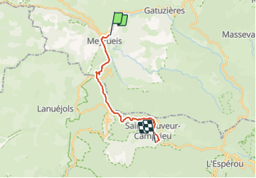

Length
18.2 km

Max alt
1174 m

Uphill gradient
700 m
Km-Effort
26 km

Min alt
700 m

Downhill gradient
314 m
Boucle
No
Creation date :
2023-08-28 07:12:28.015
Updated on :
2023-09-12 19:28:28.201
10h50
Difficulty : Medium

FREE GPS app for hiking
 SityTrail
IGN / Geographical institutes
SityTrail Plus
The world is yours!
About
Trail Walking of 18.2 km to be discovered at Occitania, Lozère, Meyrueis. This trail is proposed by werth.
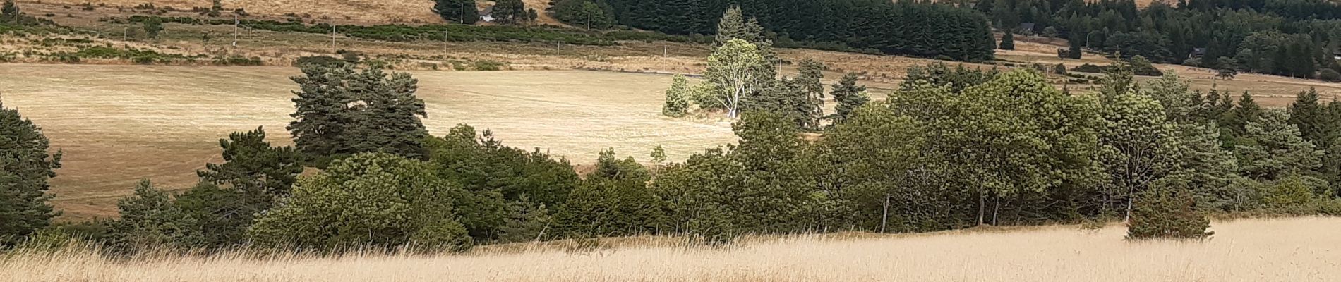
Photos


Positioning
Country:
France
Region :
Occitania
Department/Province :
Lozère
Municipality :
Meyrueis
Location:
Unknown
Start:(Dec)
Start:(UTM)
534934 ; 4892098 (31T) N.
Comments