


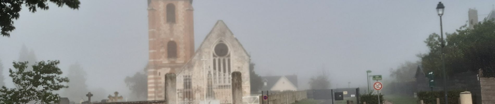
20230913-Campigny claude

doudet
User
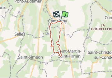

Length
7.9 km

Max alt
125 m

Uphill gradient
176 m
Km-Effort
10.2 km

Min alt
49 m

Downhill gradient
176 m
Boucle
Yes
Creation date :
2023-09-14 07:51:08.509
Updated on :
2023-09-16 06:18:00.22
2h26
Difficulty : Medium

FREE GPS app for hiking
 SityTrail
IGN / Geographical institutes
SityTrail Plus
The world is yours!
About
Trail Walking of 7.9 km to be discovered at Normandy, Eure, Campigny. This trail is proposed by doudet.
Photos


22 photos in total. Please click on a photo to see them all in the gallery.
Positioning
Country:
France
Region :
Normandy
Department/Province :
Eure
Municipality :
Campigny
Location:
Unknown
Start:(Dec)
Start:(UTM)
322051 ; 5464881 (31U) N.
Comments
