


Cubière

micheldutilleul
User
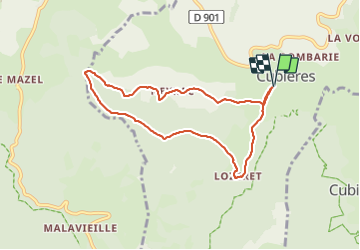

Length
7.8 km

Max alt
1267 m

Uphill gradient
296 m
Km-Effort
11.7 km

Min alt
986 m

Downhill gradient
296 m
Boucle
Yes
Creation date :
2023-09-15 12:06:15.278
Updated on :
2023-09-15 14:34:56.538
2h13
Difficulty : Medium

FREE GPS app for hiking
 SityTrail
IGN / Geographical institutes
SityTrail Plus
The world is yours!
About
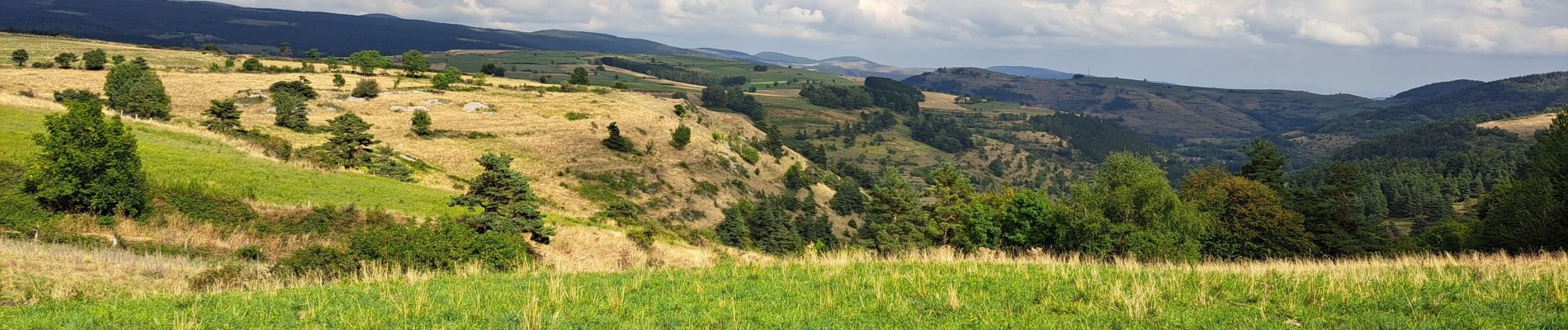
Trail Walking of 7.8 km to be discovered at Occitania, Lozère, Cubières. This trail is proposed by micheldutilleul.
Photos


Positioning
Country:
France
Region :
Occitania
Department/Province :
Lozère
Municipality :
Cubières
Location:
Unknown
Start:(Dec)
Start:(UTM)
561316 ; 4924638 (31T) N.
Comments