


col de l'Osque

c.chehere
User
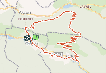

Length
18.4 km

Max alt
1435 m

Uphill gradient
664 m
Km-Effort
27 km

Min alt
821 m

Downhill gradient
664 m
Boucle
Yes
Creation date :
2023-09-18 06:49:21.071
Updated on :
2023-09-18 13:56:47.762
7h05
Difficulty : Medium

FREE GPS app for hiking
 SityTrail
IGN / Geographical institutes
SityTrail Plus
The world is yours!
About
Trail Walking of 18.4 km to be discovered at Occitania, Ariège, Orgeix. This trail is proposed by c.chehere.
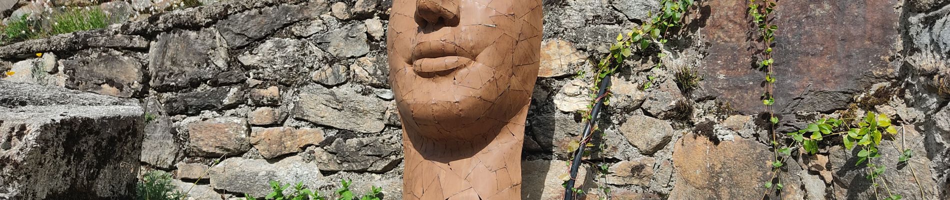
Photos


Positioning
Country:
France
Region :
Occitania
Department/Province :
Ariège
Municipality :
Orgeix
Location:
Unknown
Start:(Dec)
Start:(UTM)
407197 ; 4728947 (31T) N.
Comments